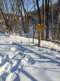
| The Northern Central Railroad Trail (NCR Trail), recently renamed the Torrey C. Brown Trail (TCB Trail), is a rail trail that extends from Ashland north for 21 miles to the Pennsylvania state line. The trail continues into Pennsylvania as the York County Heritage Rail Trail. Named for the third Secretary of the Maryland Department of Natural Resources, the TCB trail follows 21 miles of the former Northern Central Railway in Northern Baltimore County. It runs through the valley of the Gunpowder Falls Watershed, portions of which are now State Park. The trail is approximately 10 feet wide and is a stone dust and crushed rock surface. The trail is generally uphill going north to Freeland as shown in the elevation profile.
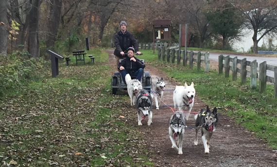
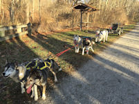
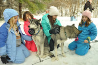
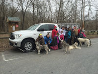
Below is a map of the trail along with basic directions to parking lots or trail heads along the trail. Please refer to your start time and trail head email for the exact location of your dog sledding program and for detailed driving directions to the trail head where your dog sledding program will be held.
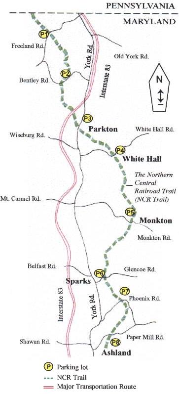
Parking (information originally courtesy Maryland Department of Natural Resources)
Freeland: Take York Road north almost to the Pennsylvania line (Exit 36 off I-83 N). Then turn left (west) onto Freeland Road. Follow for 2 miles to parking lot. (Lot P1)
Bentley Springs: Take York Road north of Parkton (Exit 33 off I-83). Turn left (northwest) onto Kaufman Road. Follow Kaufman Road for less than 1 mile, and turn left (west) onto Bentley Road and proceed to parking lot. (Lot P2)
Parkton: Take York Road to Parkton (Exit 31 off I-83). Turn left (west) onto Frederick Road, and park at 18858 Frederick Road. (Lot P3)
White Hall: Exit at Exit 31 and go east (right) on Middletown Road. Go south (right) on York Road. Turn left (east) on Weisburg Road. Follow Weisburg Road for 2 miles. The parking lot is located at Weisburg and White Hall Roads. (Lot P4)
Monkton: Take York Road to Hereford (Exit 27 off I-83). Turn right (east) on Monkton Road. Follow for 3 miles, and look for parking lot and park office (open on weekends). This location features restrooms, water, telephones and picnic tables. Parking at this location is very limited. (Lot P5)
Sparks: Take York Road north of Shawan Road to Sparks (Exit 20 off I-83). Turn right (east) on Sparks Road. Go less than 1 mile to parking lot. This location features the Sparks Bank Nature Center. (Lot P6)
Phoenix: Take York Road north of Shawan Road in Hunt Valley (Exit 20 off I-83). Turn right (east) on Phoenix Road. Travel 1.7 miles and look for parking lot. (Lot P7)
Paper Mill: Take York Road (Route 45) to Cockeysville (Exit 18 off I-83). Turn right (east) on Ashland Road. Bear left onto Paper Mill Road. Go less then ½ mile. Look for safe parking areas along the road shoulder near the trail and a parking lot just after the trail crossing and across from Hunt Valley Village. (Lot P8)
|